Services/Earth Observation data and solutions

Glavkosmos is an official distributor of the Earth remote sensing data acquired by the Russian orbital satellite constellation.

According to the Russian law “On space activities”, Earth observation from space is one of the main areas of space activities of Russia and the enterprises of the State Space Corporation “Roscosmos”. To solve the widest range of customer tasks - from natural resources and emergency monitoring to forest and environment management, monitoring of agriculture and construction sites - data from the Russian orbital constellation of Earth remote sensing spacecraft are used. With that, a full cycle of operations is provided: imaging in various modes, satellite data receiving, image processing, data analysis and decrypting, provision of special information products and services based on Earth observation data.

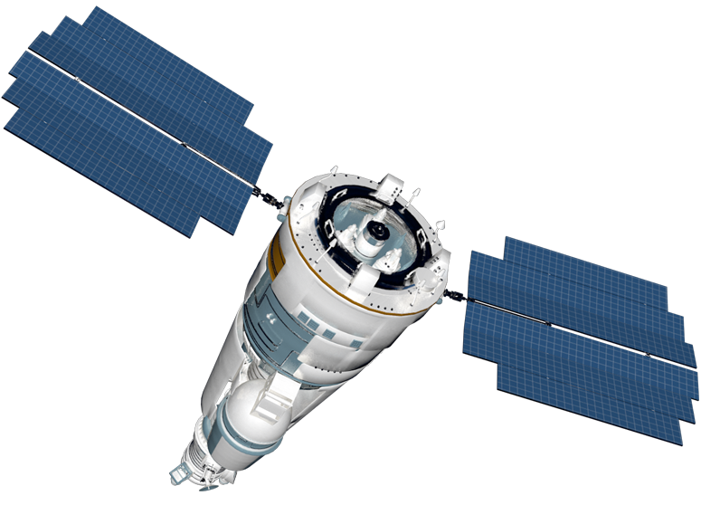
The data acquired by the Russian constellation that includes Resurs-P, Kanopus-V, and Aist-2D satellites have successfully proved effective, they are in demand both in the Russian and international markets.

Resurs-P

Resurs-P is a series of the Earth observation satellites made in Russia, by JSC «SRC «Progress». The first launch was conducted on June 25, 2013.

Resurs-P is designed for high-resolution observation in the nearly circular sun-synchronous orbit (average height of 475 km). The expected active lifetime is 5 years. Resurs-P operates in four imaging modes – target imaging, ground-strip imaging, stereoscopic imaging and ground areas’ imaging.
 

Resolution

1 m Pan
3-4 m MS

Spectral channels

96(256)

Orbit

SSO (475 km, 97.28°)

Swath width

38 km

Kanopus-V

Kanopus-V is a Russian Earth observation satellite. The Kanopus-V spacecraft is designed by VNIIEM Corporation (full name - Research and Production Corporation ‘Space Monitoring Systems, Information & Control and Electromechanical Complexes’ named after A.G. Iosifian).

Kanopus-V makes shooting of the Earth surface in the visible range of the electromagnetic radiation spectrum, generates images from the received video footage, stores and downlinks the acquired data via RF channels to the ground station for data receipt planning, recording, processing and distribution.
 

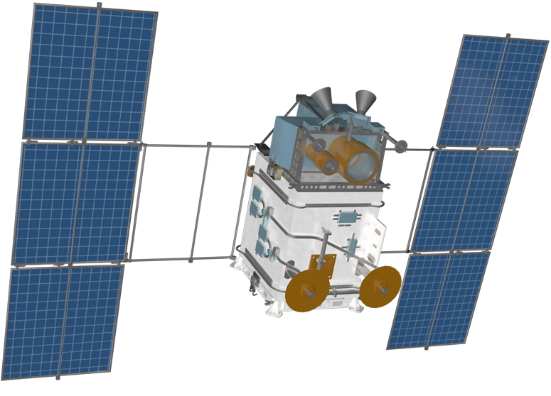
Kanopus-V-IK is the second type of spacecraft of the Kanopus-V satellite constellation designed for real-time monitoring of natural and man-made emergencies:

  • monitoring of man-made and natural emergencies, including natural hydrometeorological disasters;
  • detection of forest fire bodies with an area of 25 m2, large emissions of pollutants into the environment;
  • monitoring of agricultural activities, natural (including water and coastal) resources;
  • land management;
  • observation of specific areas of the Earth surface;
  • mapping;
  • updating of topographic maps.

Resolution

2.5 m Pan
12 m MS

Spectral channels

4

Orbit

SSO (512 km, 97.45°)

Swath width

23 km

Aist-2D

AIST-2D is a microsatellite built by JSC «SRC «Progress», a leading enterprise in the Russian rocket and space industry.

AIST-2D houses an innovative Earth observation payload, as well as scientific equipment for studying of near-Earth space and its impact on the satellite instruments, materials and coatings of the bus structure. The microsatellite carries the high-resolution optical-electronic camera Aurora.
 

Resolution

1.5 m Pan
4.5 m MS

Spectral channels

4

Orbit

SSO (490 km, 97.28°)

Swath width

41.3 km


Applications

Agriculture

  • Identification of vegetation type and quality, soil investigation.
  • Farmland management, real-time monitoring of cultivated area state, NDVI (Normalized Difference Vegetation Index) monitoring.
  • Harvest and drought forecasts.

Cartography

  • Generating and updating of topographic and navigation maps.
  • Building of a digital elevation model and orthophotomaps.
  • Special mapping.
  • Generating and updating of the geographical base and site drawings.

Emergencies

Real-time emergency monitoring:

  • identification of fire hotspots and flood monitoring;
  • simulations of emergency prevention and mitigation.

Ice conditions

  • Ice cover assessment.
  • Detection of large ice fields, cracks (faults), grounded ice hummocks, hummock ridges, open water patches, icebergs and their parameters, as well as surveillance of ice degradation and beginning of melting.
  • Detection of dangerous ice formations.

Marine monitoring

  • Monitoring of the number and locations of sea vessels at seaports, high sea traffic areas.
  • Monitoring of populated fishing areas to identify the positioning of fishing vessels (up to large-size small vessels).

Ecology

  • Monitoring of pollution and environment degradation.
  • Identification of illegal solid waste fields.
  • Monitoring of water preserved zones and protected areas.
  • Monitoring of mechanical and biological pollution of sea coastal waters, monitoring of suspended matter traces from river mouths, large pollution sources, zones of water eutrophication.

Natural resourses
Forest management

  • Natural resource survey.
  • Updating of mapping data for new field infrastructure design.
  • Identification of areas with illegal use of natural resources with precise definition of the boundaries and areas of disturbed territories.
  • Detection of illegal deforestation, identification of affected areas after fires, windfalls.

Construction

  • Monitoring of construction and reconstruction sites, including power supply facilities and roads at various phases: site preparation; earthwork, including laying of communication lines and foundation work; arrangement of adjacent areas.
  • Obtaining of data on the availability of construction equipment, soil subsidence and landslides within construction sites.